Brief break from our arid August
SEATTLE - August is dry around here. We get less than an inch of rain the whole month of a typical August around Western Washington. It takes an inch of rain per week to keep the typical yard lush and green. This August we've been exceptionally dry-- only seen about a tenth of that normal meager rainfall. That changes today and tomorrow with some passing showers and some light rain for a few hours here and there.

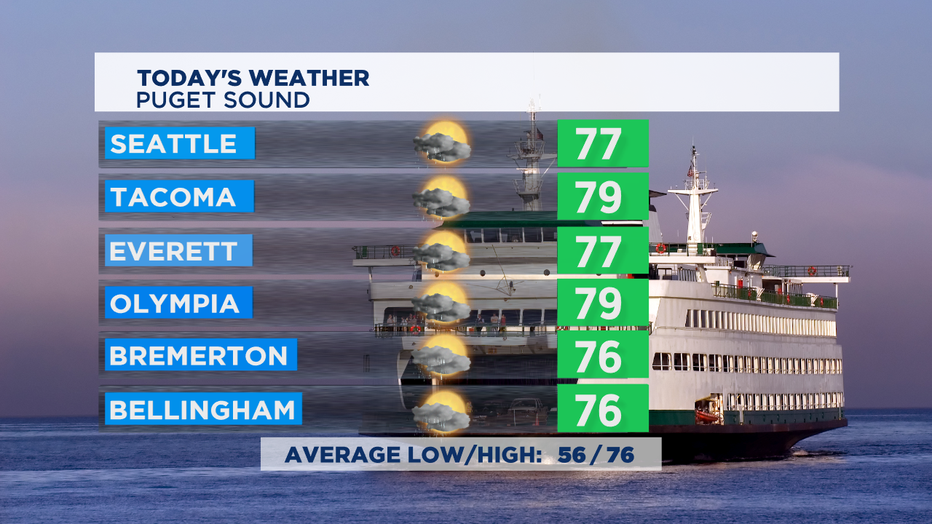
The rain does some good things: clears the air of pollution and wildfire smoke and haze, waters our yards and gardens for free, helps with crops, and helps trees stay hydrated so they are more fire resistant if a wildfire does break out. It was just two years ago we lost about 4 weeks of summer due to choking wildfire smoke around Puget Sound. Ash fell in many Puget Sound communities, including Seattle. Temps on Thursday will also be cooler than yesterday, but only by a little. Normal high is 76 for this part of summer and we'll be close to that for most of us around Puget Sound.

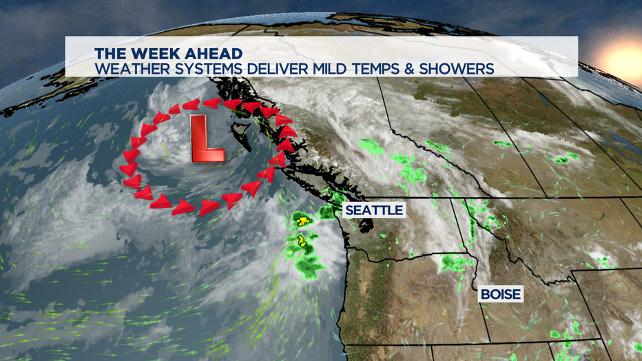
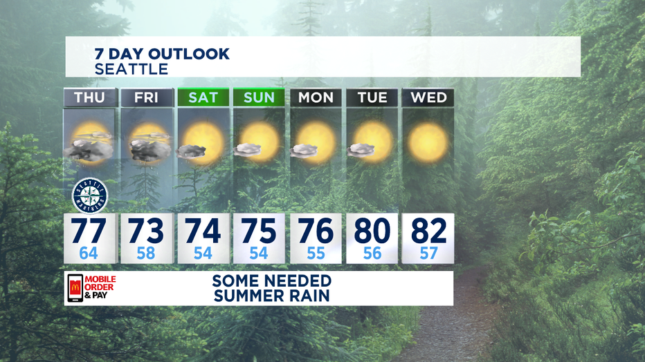
Tomorrow looks a little bit soggier than today, as the weather system just off the BC coastline gets a little bit closer. Temps will also be in the lower 70s and upper 60s. But, that's about it. We're back to summer sunshine by mid-Saturday morning for most of us.

If you're a fan of more summer heat, we've still got plenty of that ahead. Some of the forecast models are hinting at a whole week of 70s-- but I think we might actually pop into the low 80s for a few days mid-week next week. Enjoy!

