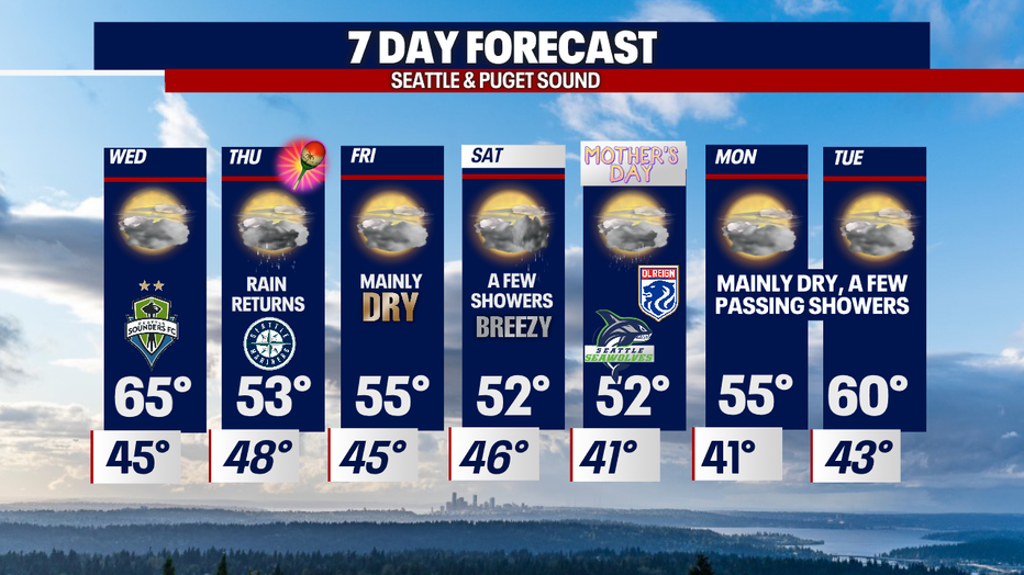
Seattle weather: Dry conditions, temperatures reaching 65 for Sounders FC CONCACAF match

Off-and-on rain and a soggy Mother's Day in store for our week
FOX 13 Chief Meteorologist Lisa Villegas and Forecast Erin Mayovsky have the details.
SEATTLE - We continue the theme of swinging back and forth between low and high pressure for the rest of the week. This will give us dry then showery and cooler conditions.
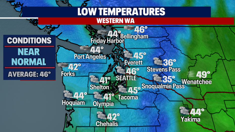
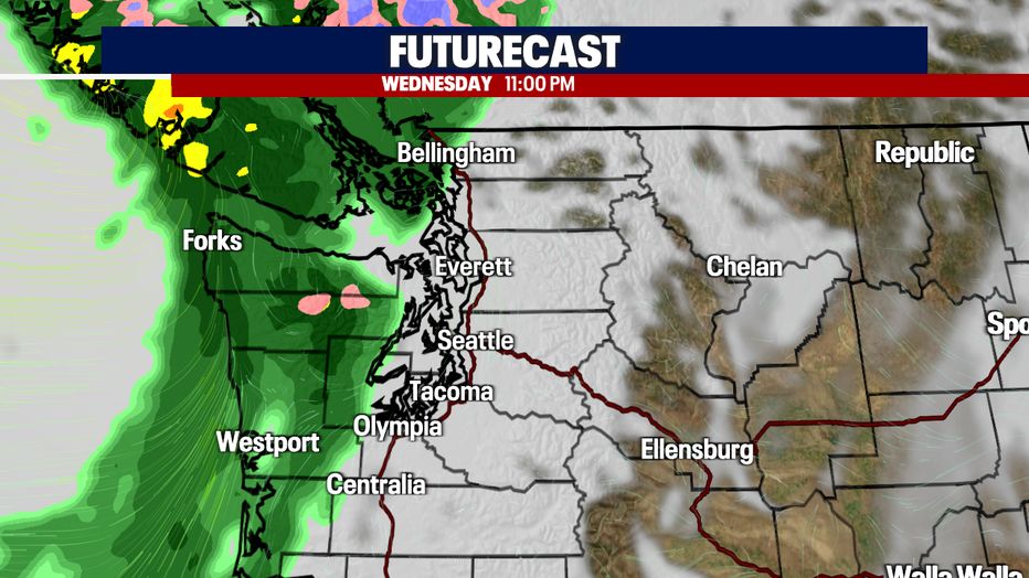
Overnight we expect a few light showers to persist along the NW Coast, the Strait, and the North Sound. Temperatures will drop to near average for the metro area with cooler lows to the south.
By midday, showers will be out of the region, leaving us with mostly cloudy skies. Highs warm into the mid to upper 60s.
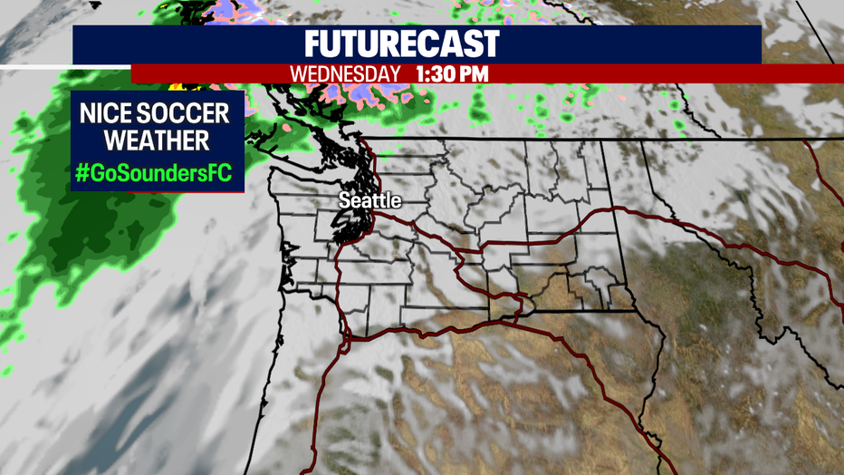
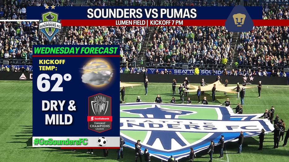
If you're lucky enough to have a ticket to what could be a history-making match tomorrow night for the Sounders FC, you are in for a treat! Kick-off conditions look great in the low 60s. We'll remain dry throughout the game, but showers will quickly ride in just before midnight.
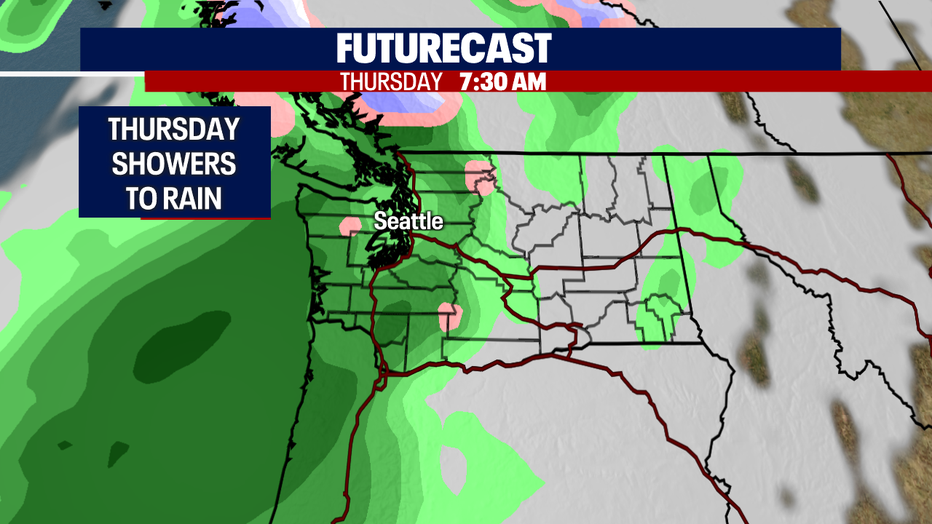
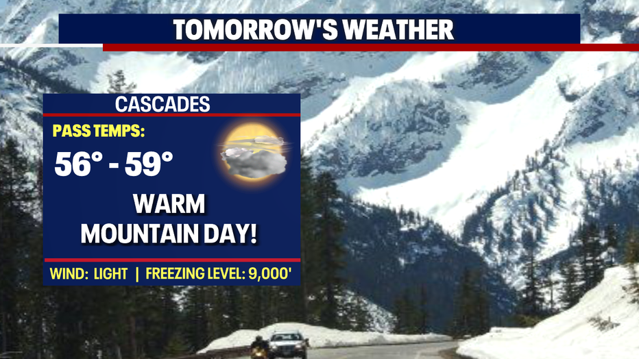
Your Thursday morning commute will be showery and cool with rain picking up for the evening commute as a front moves through the area. Highs drop into the mid 50s, well below average for this time of year. By late Thursday night, the front will finally push into the Cascades.
Most of us will see a break from showers Friday, but by late night rain will move across the southern portion of the region with some showers riding into downtown. We may become locally breezy to windy at times too. Highs land in the mid 50s.
Saturday, look for midday showers as a broad upper trough settles in over the area lasting through the weekend. At this point, models are showing scattered showers through Mother's Day with much cooler highs in the low 50s.
Next week we'll trend toward drier weather with below normal highs as we hang under a larger upper trough. Enjoy!
Have a great night! ~Erin Mayovsky, FOX 13 Forecaster
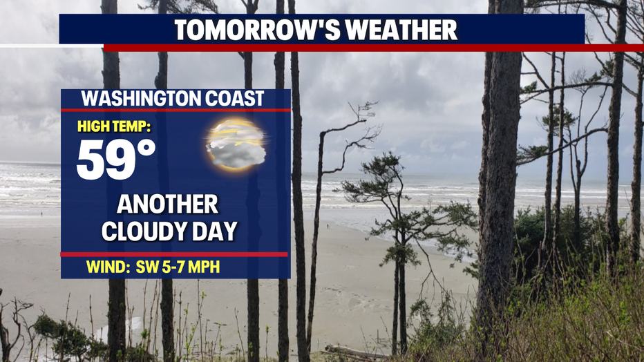
*Beach Forecast
*Mountain Forecast
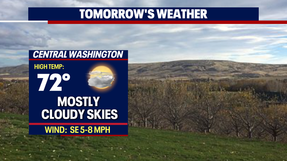
*Central WA Forecast