

FORECAST: Our next rainmaker arrives on Wednesday
Seattle - What a day! Isolated thunderstorms fired up this afternoon and produced lightning, small hail, heavy rain, and gusty winds. They have since weakened as they tracked across the convergence zone. Thunderstorm chances have died out, but some isolated showers will continue to be possible tonight.
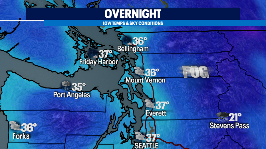
Patchy fog will return in the forecast as temperatures drop. Here is a look at those overnight lows and conditions.
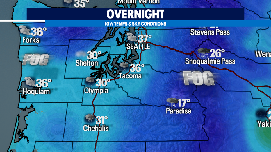
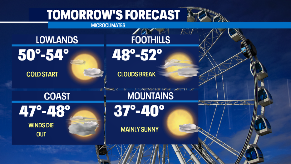
The clouds will hang around for some of us tomorrow morning but expect that cloud cover to break apart throughout the day.
Our next system will arrive on Wednesday. A cold front will trigger showers, breezy winds, and mountain snow.
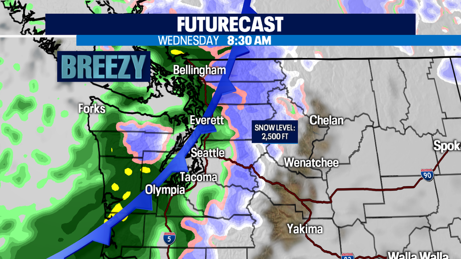
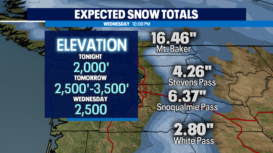
Rain accumulation will range between .25"-.75" through Wednesday night. Snow totals will add up as well so if you plan on commuting through the passes, check in with the road conditions.
Have a good one!