Mild NW flow delivers enjoyable August weather!

Erin Mayovsky Wednesday forecast
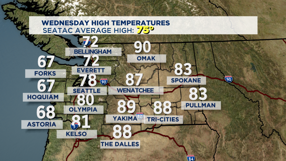
Q13 Weather Anchor Erin Mayovsky has a look at Hurricane Laura battering the east U.S. Coast. Here in WA, mid-70s and sunny, South Puget Sound seeing high 70s.
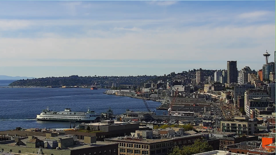
SEATTLE - Another spectacular day across the Northwest. Plenty of sunshine with really comfortable highs. Today most of us to the south saw temps above normal in the upper 70s to low 80s, while to the north folks were in the low 70s with the coast seeing upper 60s.
We'll continue with our dry August theme with late night and early morning clouds giving way to beautiful, sunny afternoons. Temps for the next few days will stay in that sweet zone of upper 70s to near 80. Overnights will hang in the low to mid 50s. Pretty typical for this time of year.
This weekend, a series of weak systems might give us a chance of a few sprinkles, but right now it's looking like just the northern Sound and portions of the Cascades will see most of the rain action, if any at all develops. Highs fall back a few degrees into the mid 70s.
And as far as next week goes we're keeping us mainly dry now, but models are not lining up as to where to place the next trough. So there is the chance that if the low pressure system moves in over Western WA we might see a chance of a few showers and cooler temperatures. We will wait and see how this one plays out.
Later in the week our pattern will support a dry and warm scenario. Highs will be near average in the mid to upper 70s.
Have a great night! ~Erin
________________________________
- Erin Mayovsky, Q13 Forecaster
Twitter: @ErinMayovsky
FB: /ErinMayovsky
Instagram: @ErinMayovsky
________________________________