

Seattle weather: Scattered showers, breezy and cool Monday

Seattle weather: Scattered showers, breezy and cool Monday
FOX 13 Meteorologist Claire Anderson has your 7-day forecast
SEATTLE - We had some dark skies around Western Washington today with plenty of rain and wind. There were even several strikes of lightning this afternoon.
We had some dark skies around Western Washington this evening, with plenty of rain and wind.
We had record rainfall totals today for Bellingham and Seattle at Magnuson Park. Rain surpassed 2 inches for numerous spots around Western Washington in just 24 hours.

We had record rainfall totals today for Bellingham and Seattle at Magnuson Park. Rain surpassed 2 inches for numerous spots around Western Washington in just 24 hours.
Tonight showers continue with pockets of heavier downpours and gusty winds. Lightning has subsided as the sunset has set, losing instability.
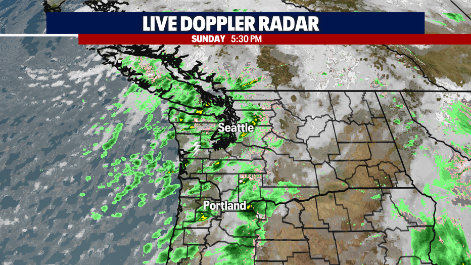
Tonight showers continue with pockets of heavier downpours and gusty winds.
Showers will stick around overnight along with breezy winds and mild temperatures. We will also see snow in the higher mountain passes.

Showers will stick around overnight along with breezy winds and mild temperatures.
A Winter Weather Advisory remains in effect for the North Cascades through 11am Monday for snow above 4000'. Snow totals are expected to be 5-10", including for Mt. Baker Ski Area and Washington Pass.
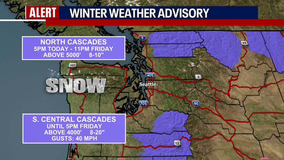
A Winter Weather Advisory remains in effect for the North Cascades through 11am Monday for snow above 4000'.
Scattered showers will continue Monday with the possibility of isolated thunderstorms again. Snowflakes can also be expected in the mountain passes including Stevens and White Pass, which could see several new inches of snow. Snoqualmie Pass is looking at just rain/snow mix with little to no accumulation.
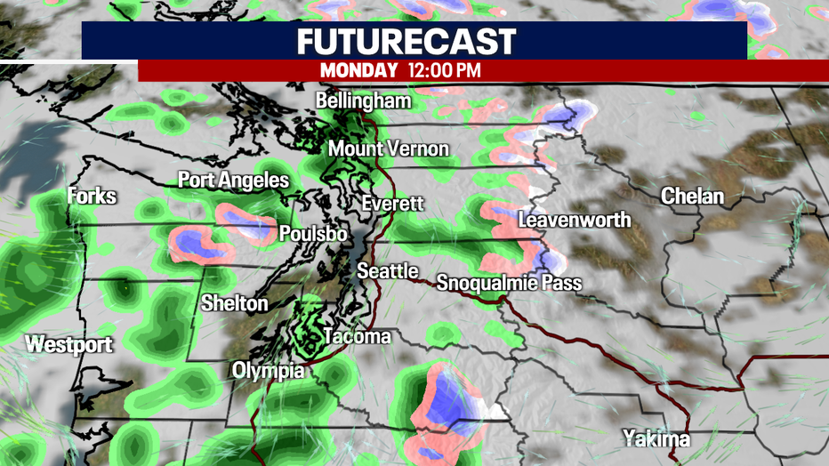
Scattered showers will continue Monday with the possibility of isolated thunderstorms again.
Monday's highs will be a few degrees cooler as an upper level trough moves through the area.
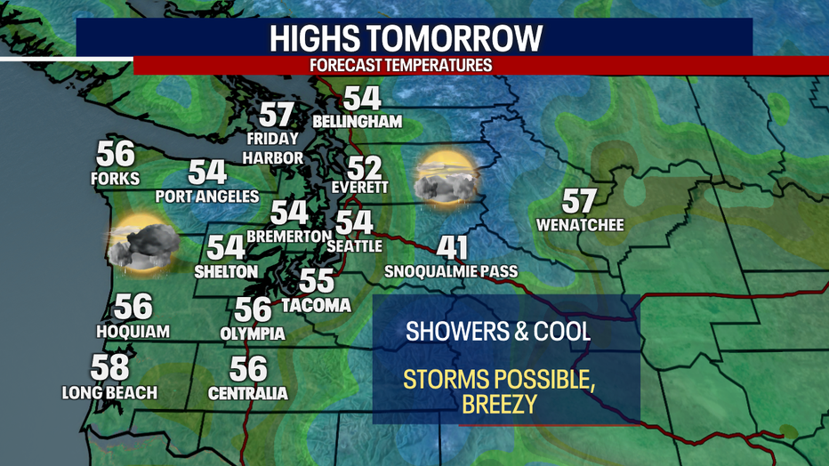
Monday's highs will be a few degrees cooler as an upper level trough moves through the area.
Showers will taper by Monday evening with dry skies continuing into Tuesday. Partly sunny skies through Tuesday before our next round of rain returns Wednesday through midweek. Right now, next weekend is also looking drier and calmer with only a few shower chances.
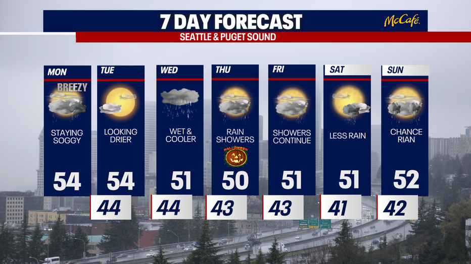
Showers will taper by Monday evening with dry skies continuing in to Tuesday.