September turns spectacular (and October too)
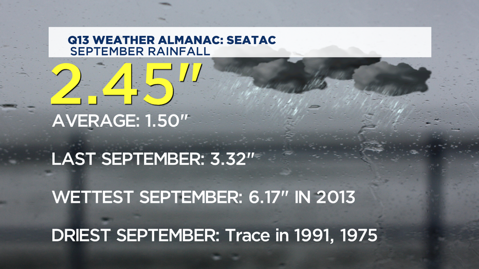
SEATTLE - The first half of September we were bone dry-- but the heavy periods of rain did wonders for clearing out the wildfire smoke and watered our yards and gardens quite thoroughly for the last week and a half. In fact, between Wed through Friday we saw a whole month's worth of average September rainfall. The result is most wildfires have been contained and our rain gauge at SeaTac is now well above the normal.

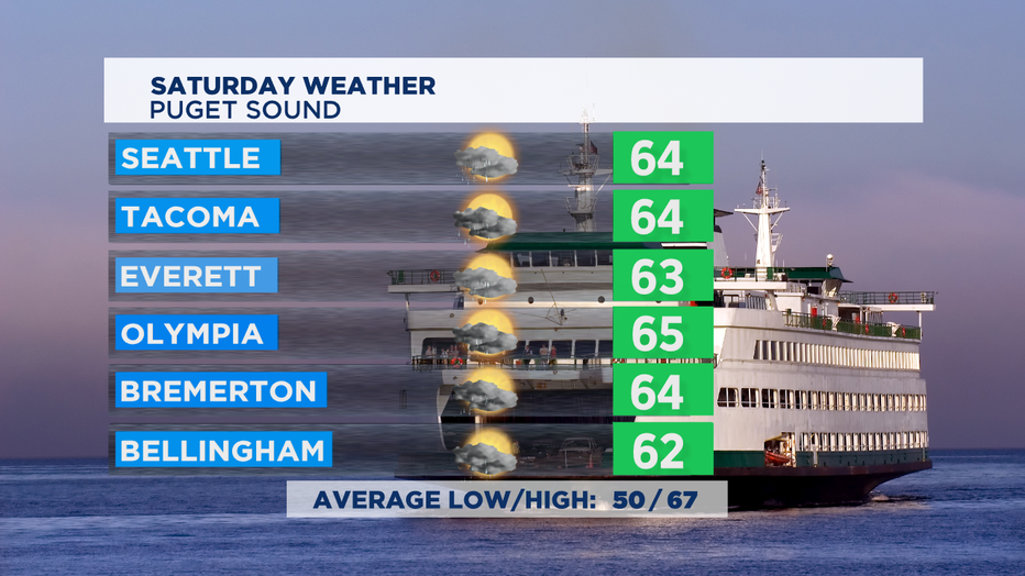
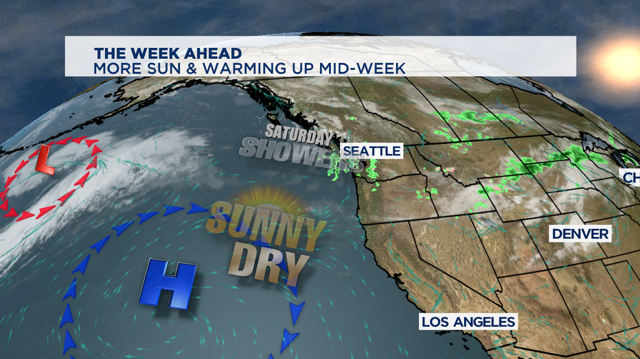
Saturday we'll still see some on/off passing showers, but some nice breaks of sunshine too. By tonight, most of the showers will have eased up and isolated mostly to the mountains. High temps today a bit warmer than yesterday, but still shy of the normal of 67 for this part of autumn.

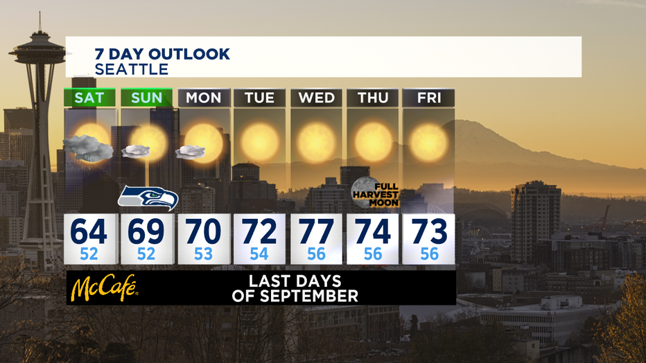
We'll see high pressure building in offshore-- and that will help bring in sunnier skies and warmer temps as we get into the last days of the month. The low pressure in the middle of the Pacific Ocean will help amplify the high pressure ridge just offshore-- and will bring some summer-like heat into the Pacific NW.

The last day of September looks like the peak of this week's warmth. While most of us will get to the upper 70s and close to 80 degrees, the number to beat in the record books for that day is 82 at SeaTac. The latest on the calendar we've seen 80s is the middle of October.

Keep your eyes on the eastern horizon for the first night of October. Thursday's full moon is the closest to the fall equinox so it's given the name of "Full Harvest Moon". It will rise just after sunset. October will have two full moons, the second one will brighten our skies around Halloween-- weather permitting, of course. -Tim Joyce


