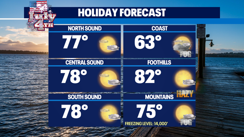
4th of July forecast promises above normal highs with beautiful skies!
Seattle - Happy 4th of July weekend all!
Our forecast looks very pleasant with warmer than average highs. Tonight, clouds will increase as onshore flow helps cool us down into the mid to upper 50s for most of the region to near 60 for the metro area. By Sunday morning most of us will wake up under cloudy skies and some spots will see patchy fog, especially near the Cascades.
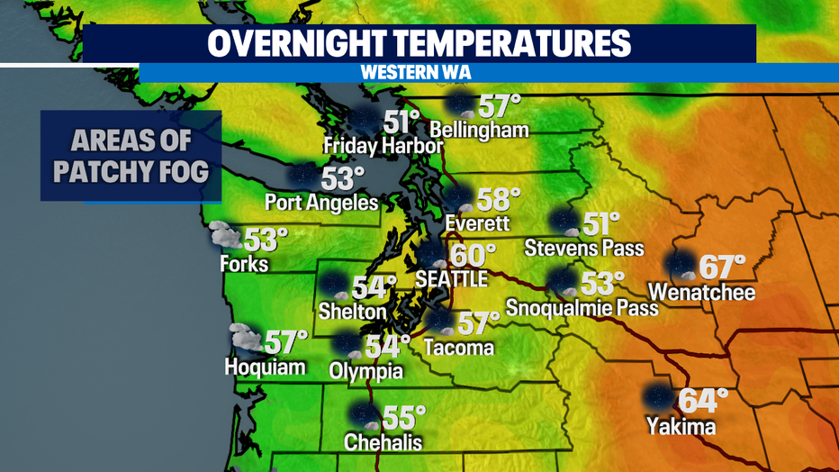
Communities that still plan to have fireworks shows will see temperatures dropping into the upper 60s by 10pm for celebrations!
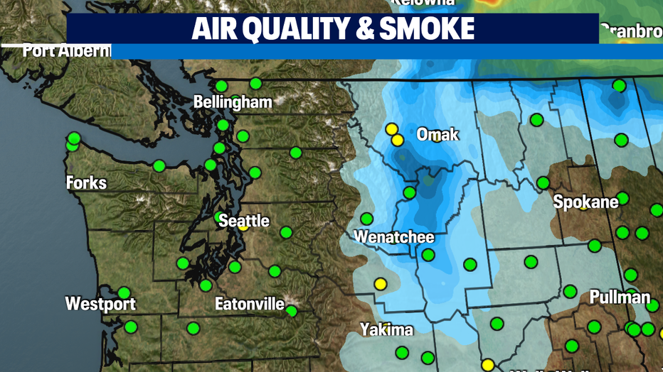
Onshore flow will keep the wildfire smoke to our east. Air quality looks good, but with the fireworks going off this weekend, we could see that affecting air quality short term.
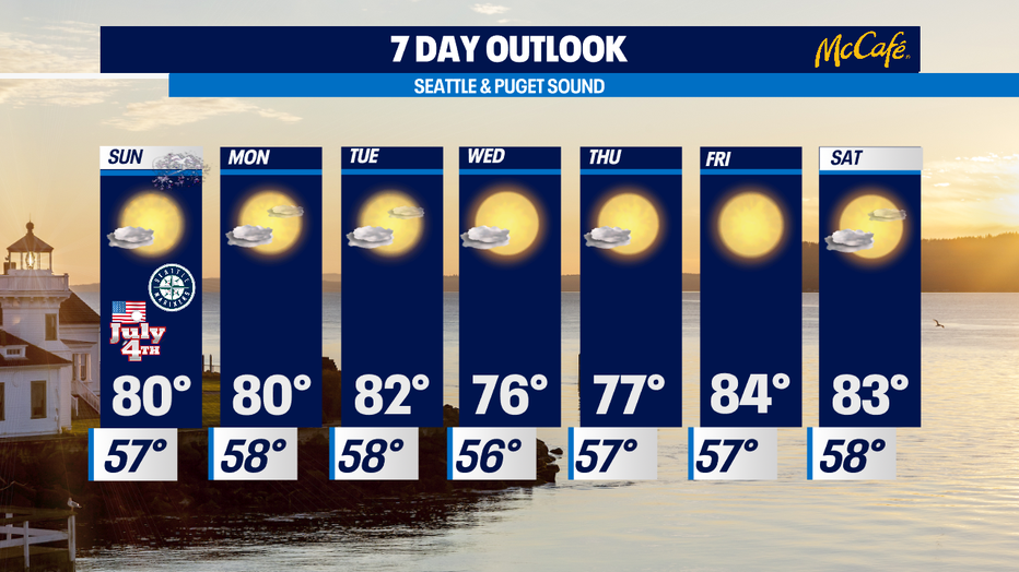
Next week looks much the same with afternoon sunshine and above normal temperatures in the upper 70s and lower 80s.
Have a great night all! ~Erin Mayovsky, Q13 Forecaster
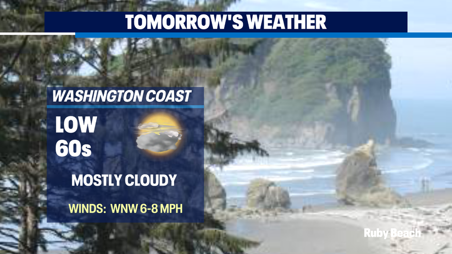
*Beach Forecast
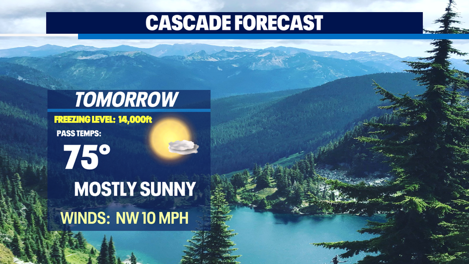
*Mountain Forecast
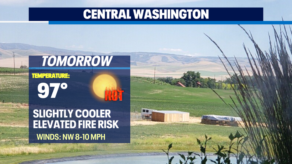
*Central WA Forecast
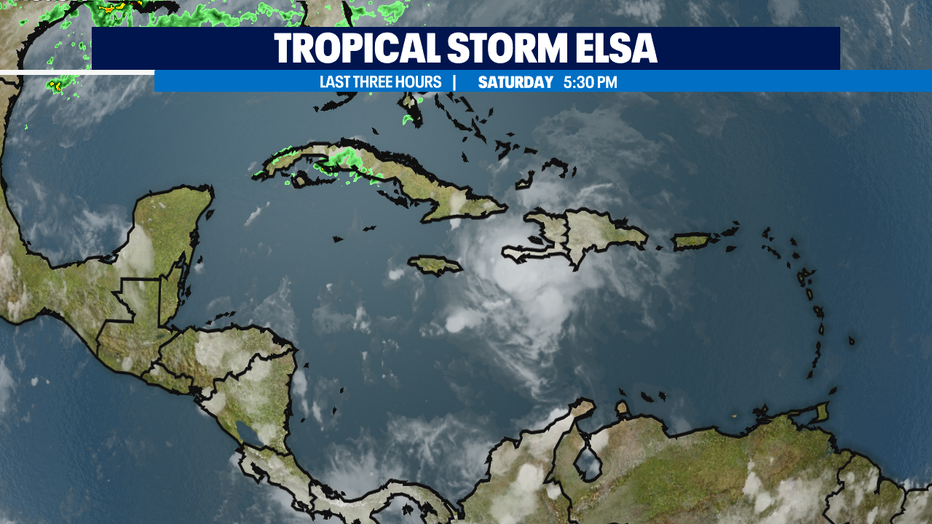
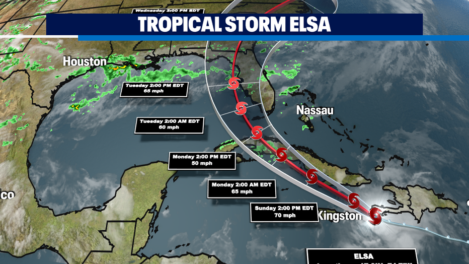
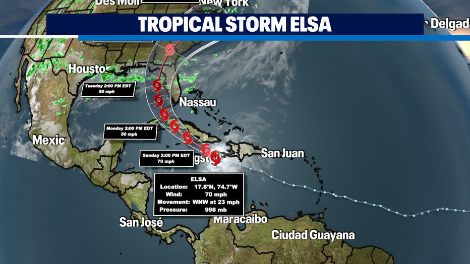
*Tropical Storm Elsa is quickly moving through the northern Caribbean and will bring heavy rain and damaging winds to Hispaniola, Jamaica and Cuba this weekend. By Monday Elsa's path could impact Florida and is that why a "Tropical Storm Watch" is in effect for the Florida Keys.