Seattle weather: Fall warmth push highs above average through Tuesday

Fall showers trickling back into the mix!
It's that time of the year again -- rain is slowly coming back into the mix. For now, temperatures are staying pleasant! FOX 13 Chief Meteorologist Lisa Villegas has the details.
SEATTLE - A gorgeous second day of Fall. Highs warming well above average. The Seattle area landing in the mid 70s.

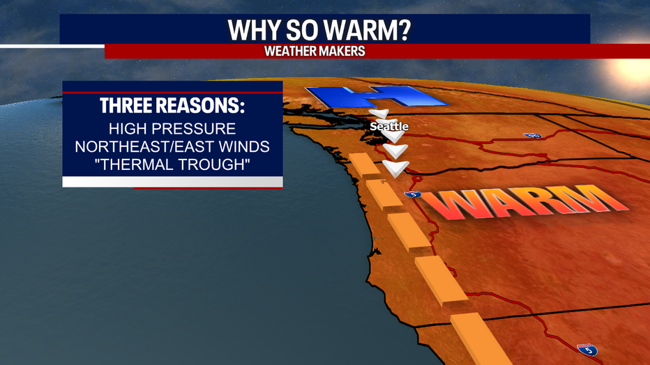
Here's the reason for our warm-up: High pressure, a "thermal trough" and northeast/easterly winds will lead to soaring temperatures and increased fire danger.
Make sure to heed any burn bans in your area as our grounds are still very dry. This summer was the driest summer on record at the airport with only 0.5" of rain in the bucket.

Overnight skies are mainly cloudy. Temperatures will cool into the low to mid 50s for Snohomish, King, and Pierce Counties. Most other areas around Western WA drop into the upper 40s to near 50.

As we get up Sunday morning, look for a little patchy fog before our skies clear out completely.

Over the next few days, we do expect a light haze to develop in the upper atmosphere as winds shift to the east and southeast for folks in Eastern WA. Some communities west of the Cascades may experience slightly degraded air quality levels.

The weather looks fantastic for the Seahawks hosting the Falcons tomorrow at Lumen Field. Make sure to use a little sunblock as temps will run into the upper 70s through the end of the game. Kick off is set for 1:25pm and you can catch all the action right here on FOX 13. #GoHawks

The heat turns up a few more degrees Monday with highs in the upper 70s to low 80s. Look for similar conditions Tuesday with highs cooling into the mid to upper 70s.

By mid-week clouds increase with a chance for a few light showers to roll through the region into Thursday. Highs cool into the upper 60s.

Next weekend looks pleasant as highs are just a touch above average, in the low 70s, with plenty of sunshine.
Have a great weekend all! ~Erin Mayovsky, FOX 13 Forecaster

*Beach Forecast

*Mountain Forecast

*Central WA Forecast


