

Freezing rain and sleet possible as snow transitions to rain Sunday
seattle - Noon Update:
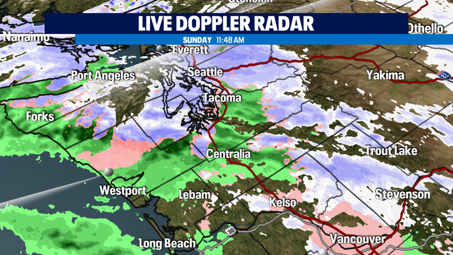
Snow is changing over to rain in the SW Interior. Areas like Grays Harbor, SW Interior and the Chehalis Valley area will be impacted by freezing rain and sleet today during the transition.
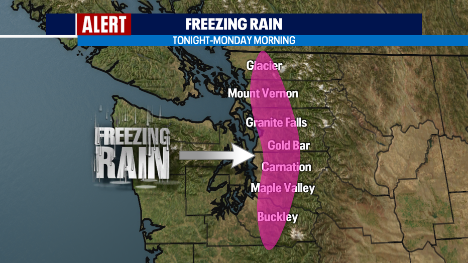
Freezing rain is also possible for the foothills of the Cascades from Enumclaw to North Bend and along US-2 from Sultan to Baring. This threat increases late afternoon and tonight and for the Monday morning commute in the higher hills. Freezing rain can add weight to power lines and tree branches, causing them to snap and break! Avoid travel.
This afternoon's precip type:
- Rain: Coast
- Freezing rain, sleet: SW Interior, Cascade foothills
- Snow: North of Olympia, Cascades
- Wintry Mix: Seattle metro area this afternoon/evening
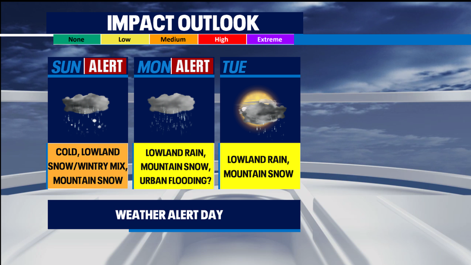
Late tonight, expect widespread rain in the lowlands and heavy mountain snow. The rain will melt all the snow we accumulated this weekend and could lead to urban flooding. Rain will increase the weight of the snowpack too so that could also lead to power outages and tree damage. Another weather alert day has been issued for Monday.
Stay safe!
-Q13 Meteorologist Grace Lim