Leaning into fall: More wind, rain in the forecast for Puget Sound

More wind, rain in the forecast for Puget Sound
Q13 Chief Meteorologist Lisa Villegas has your forecast.
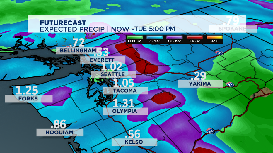
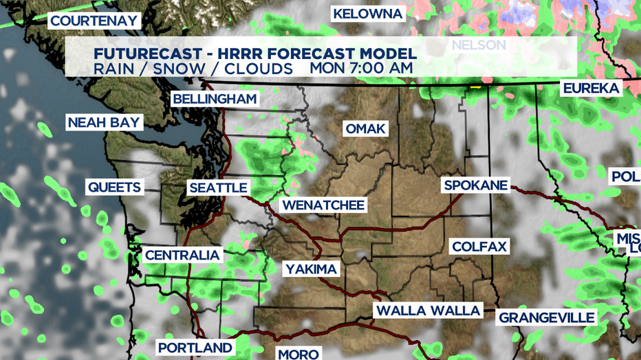
SEATTLE - Talk about a wet day for football! We had more than 1" of rain accumulate in isolated pockets across the area over the last 24 hours. Light showers will continue on and off overniight into Monday morning, but NOTHING like what we saw earlier Sunday. Most of the rain will briefly dry up. Our best shot for light rain Monday will take place across the Cascades.

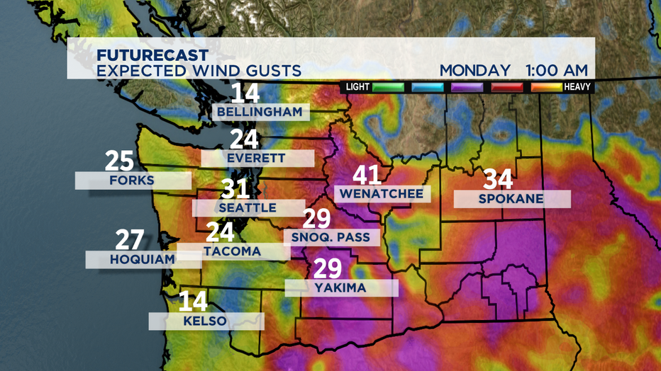
The winds will continue to gust up to 20-30 mph for the next several hours. Expect sustained winds to drop to 5-10 mph by your early morning commute.

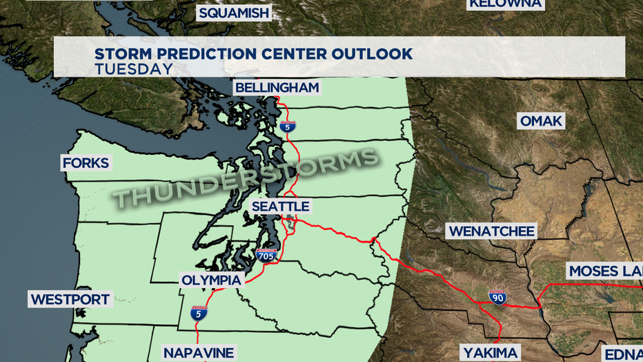
Our next system will hit us with more widespread rain, mountain snow, gusty winds and isolated thunderstorms beginning Monday night. Rain totals with this system could add up to over an 1". Winds along the coast will exceed 35 mph while the rest of the area will receive gusts up to 30 mph. Our thunderstorm chance increases with the best shot for development over the Olympic Peninsula and the Cascade foothills.

We’ll continue to break down the timing and threats throughout the day!


